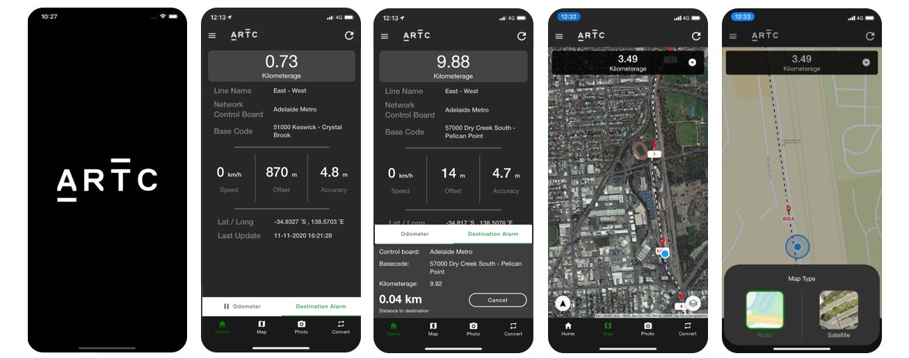
KM2ME is an application that converts your GPS location to display an approximate ARTC track location
Download for Apple Devices
Download for Android Devices
Safety is at the heart of everything we do, so our Geographic Information System team has developed an app to further protect our people and contractors working onsite.
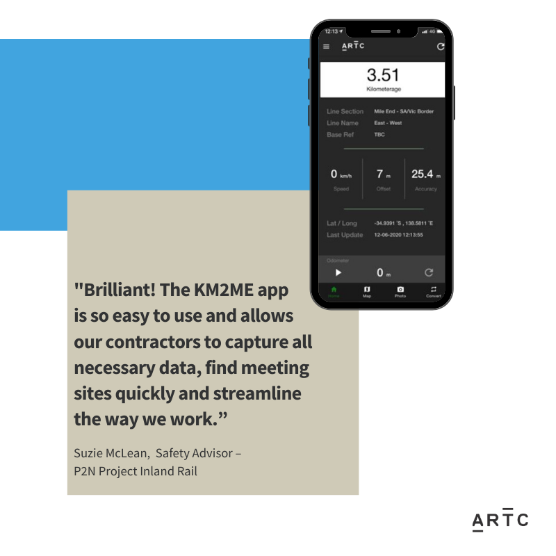
The KM2ME (Kilometrage to Me) app uses your mobile phone GPS location to tell you which rail line and section you are on. Not only does the app allow you to convert GPS coordinates to and from track position and take geotagged photos, it provides support in the event of an incident, allowing an accurate location for immediate assistance.
KM2ME’s new automatic network updates and in-app messaging features are game-changing, not only for the deployment of the latest rail network information but also enabling us to communicate those changes instantly with users in the field.
KM2ME is available to contractors via the Apple App Store or the Google Play Store and is compatible with most devices.
For step by step instructions on all the KM2Me app features, download a copy of the KM2Me user manual.
For terms of use please refer to our App Privacy Policy
For App support and enquiries please contact km2me.support@artc.com.au